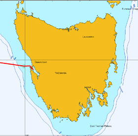
Macquarie Harbour |
 |
|
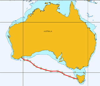
Across the Southern Ocean from
Albany W.A.
January 2009
|
 |
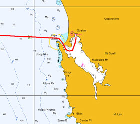
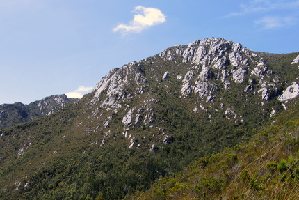
| Mount Sorell 1144 metres - Macquarie
Harbour on the West Coast of Tasmania |
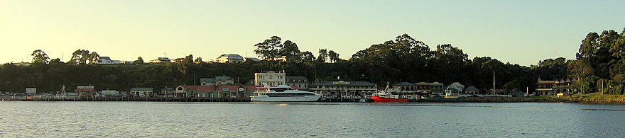 |
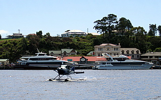
| Tiny hamlet of Strahan is overrun
with tourist during the warmer summer months - magnificent safe harbour |
 |
 |
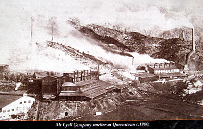
Oldest copper mine still operating
in Tasmania,
located in Queenstown near Strahan |
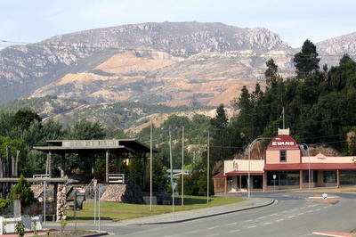
Downtown Queenstown
The sulfurous gases from early smelters has poisoned the ground |
 |
 |
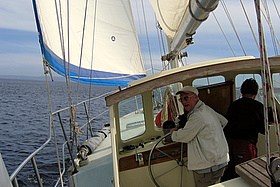 |
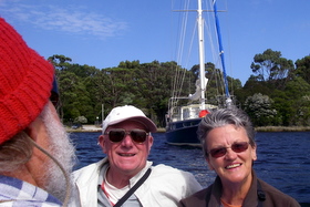
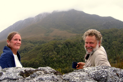
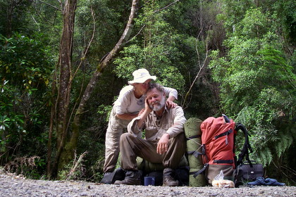
| Mel and Doreen - nursing friend of
Jude |
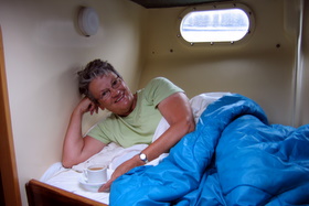
Banyandah hospitality, a cuppa in
bed |
Mel was worried about our tilt.. |
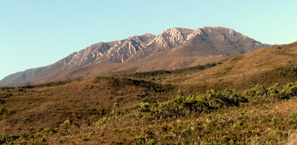
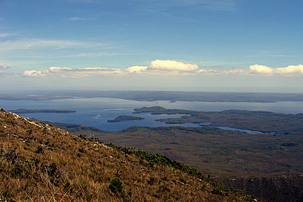
| Our trek up Mount Sorrel
1144M - no track |
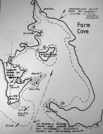
Farm Cove on Trevor's Chart shows departure point |
Our destination lay across fields of button grass |
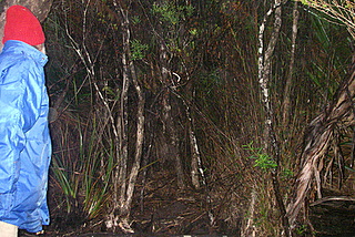
5AM - A profusion of stunted trees blocked our passage |
 |
 |
| Sorell's peak still hidden in wispy
cloud |
Soldiers Island in Farm Cove - Banyandah
in long arm right |
 |
 |
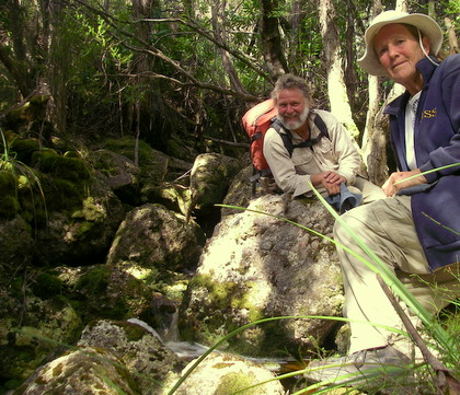
| Resting alongside a creek hidden in
a glen |
As close as we got to the peak before
needing to turn for home |
 |
 |
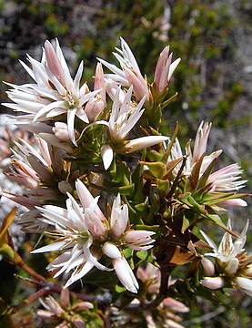 |
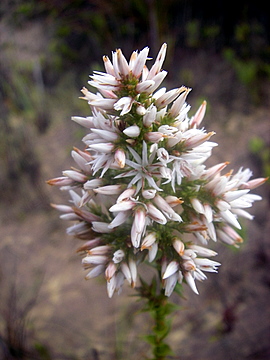
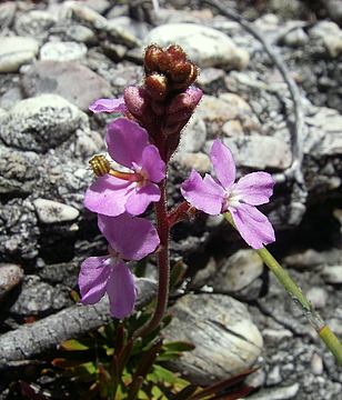
| Some of the wildflowers
we encountered |
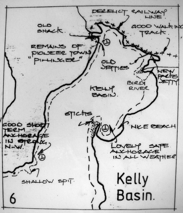
| Macquarie
Harbour has several coves nipped off its main body, each providing
excellent protection from strong winds, and each having served a
purpose in an earlier time. Next to Farm Cove lies Kelly Basin which
has a most intriguing history. Whereas, in 1822, Farm Cove was used
to grow food and provide lime for the penal colony, eight decades
later Kelly Basin had a growing community called East Pillinger
serving the North Mount Lyell Copper Company. Standing there in
the very early 1900’s you would have been in the midst of
a bustling port town of six hundred. Railway carriages loaded with
timber, bricks and ore would be shunting past, the sound of shouted
instructions ringing out and the smell of wood-smoke hanging thickly
in the air. It’s an intriguing story because a few years after
the extraordinary work felling the forests and creating such an
infrastructure so far from supplies, it was abandoned. Today, East
Pillinger is a peaceful place. Most of the town has been reclaimed
by the forest. Typical of capitalism, the mining company’s
chief competitor bought them out then decided to use their own facilities
at Strahan to ship out the ore.
Today. from
the shores of East Pillinger, it is possible to walk along what
was once the rail bed that ran alongside the Bird River through
exquisite rainforest to the Bird River Bridge, which can also be
reached via a tarmac road out of Queenstown. |
 |
| East and West Pillinger - Bird River
track on right |
 |
 |
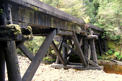 |
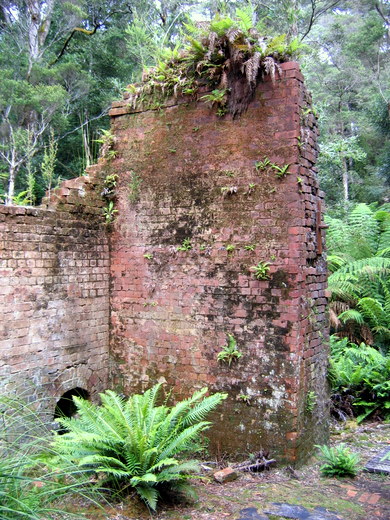
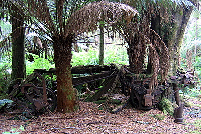
| Just a few of the remnants
- Brick kiln, remains of rail carriage and rail bridge over Bird River |
 |
 |
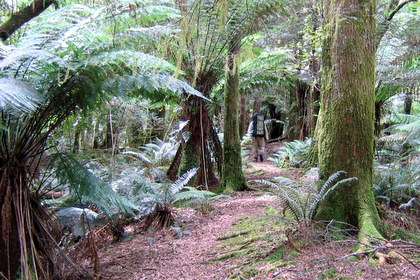
| Rainforest walk along Bird River |
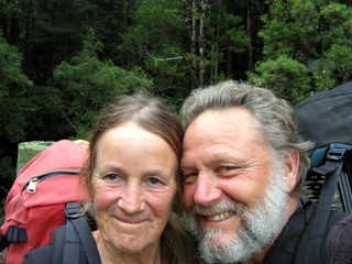
I was feeling fairly whacked. But
Jude’s the eternal optimist |
| Darwin Crater |
| Our second excursion came about through another
chance encounter, and this time maybe we’d angered fate
because not all of it was a grand experience. Jamie had mentioned
Darwin’s glass, that’s the pale green glass formed
when a meteor strikes granite, and he had drawn a circle on
our small scale chart about where he thought lay Darwin Crater,
saying they had trekked there, but, “We didn’t find
any glass.” Then adding they’d seen some in Strahan
that had been found in the crater. |
|
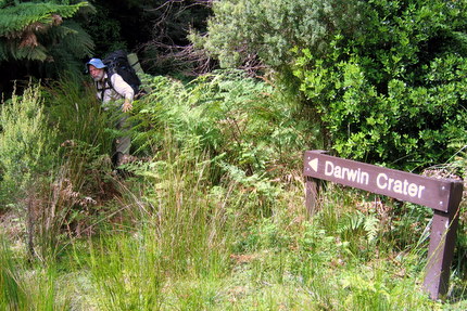 |
“C’mon, it’ll
probably open up and be easy.”
So we loaded up and ducked under the green foliage |
|
 |
 |
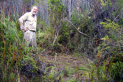
| Our tent site - after vegetation was
ripped out |
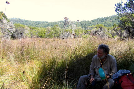
Darwin Crater - mile wide circle of
button grass |
|
 |
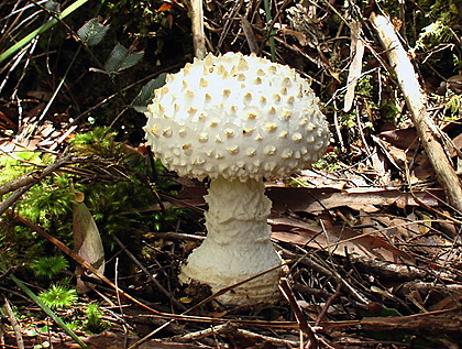
White toadstools popped
out the mulch and without much prompting ogres and trolls would
have jumped out the shadows
|
Copyright © 2007-2009 All Rights Reserved.
No part of this webpage may be used or reproduced except for personal
use without written permission of author.
Contact
Us |
|